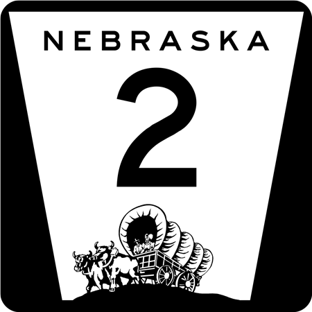
Kurth Brashear spoke with his fellow Seward Rotarians about Nebraska's highway system, the nationally known Highway 2, and a proposal to restore that highway's link to Seward County at a May meeting.
Brashear shared that the foundation for Nebraska’s modern highway system began in the 1910’s when three “national’ highways crossed the state: the Lincoln Highway (modern US 30), the Meriden Highway (modern US 81) and the Omaha-Lincoln-Denver (modern US 6 and US 34). The first car sighting in Nebraska was reportedly in 1902 in Lincoln and by 1919, there were 211.750 registered cars. In 1923, Seward County had the 16th most cars registered in the state, which is why it was assigned its “16“ designation on its license plates. In 1925 Nebraska had 5,330 miles of highway, 4,477 of which were dirt surfaces. Only 127 miles were paved, while 72 were graveled. He noted that with this basis, the foundation for today’s highway system was in place.
Today Nebraska has 9,942 miles of highway (40 miles are still gravel), and most of the highways are less than 200 miles in distance. Only six highways traverse the state from East to West today: Interstate 80, State Highway 92, and US Highways 6, 20, 30, and 34.
He asked Rotarians "which is Nebraska’s Highway?” Brashear asserted that any Nebraskan who has traveled the state knows that there is a tremendous diversity in landscape as you travel from East to West and only one highway exposes the traveler to this wide variety of landscapes, large cities, county seats, small towns, acreages, farms and ranches - Nebraska Highway 2.
“Nebraska’s Highway 2 is one of America’s ten most beautiful highways. This road will take you tone of the last unexplored frontiers, where vast treasures can be discovered,” CBS' Charles Kuralt said in the 1980s.
Highway 2 today has two discontinued segments, western and eastern. The western segment begins at the South Dakota border state line northwest of Crawford until it reaches I-80 on the east side of Grand Island. The Eastern segment now incorporates the “South Beltway” in Lincoln, beginning at US 77 and ending at the Missouri River in Nebraska City. From the arid Badlands, Highway 2 passes through the Pine Ridge, Sand Hills, Plains, and Rolling Hills before reaching the Missouri River.
The majority of the western segment was designated in February 2021 as the Sand Hills Journey National Scenic Byway, one of two scenic byways in Nebraska and 184 in the nation. A national scenic byway is a road recognized by the United States Department of Transportation for one or more of six “intrinsic qualities,” archeological, cultural, historic, natural, recreational and scenic. Highway 2 was recognized for the “Natural” intrinsic quality.
Notable points along Highway 2 include Toadstool Park, Fort Robinson State Park, the Pine Ridge, Carhenge, Antioch - a potash ghost town, Hyannis, once “The Richest Town in the US,” Nebraska National Forest, Broken Bow, the Nebraska State Fairgrounds, remnants of the Oregon Trail, Arbor Lodge, and the Missouri River. Highway 2 passes through 15 of the 93 Nebraska counties, staring in Sioux and ending in Otoe, intersects seven of Nebraska’s nine river basins, and passes by 40+ Nebraska historical roadside markers.
With that background, Brashear shared his proposal with Rotary, to connect the eastern and western segments again, as it was until 1969. “Doing so would make Highway 2 the only Nebraska highway over 500 miles long. It would pass through 17 of the 93 counties, adding York and Seward, 11 county seats and the State Capital." Brashear noted Highway 2 would be the 7th longest state highway in the US.
Brashear asserted that the Nebraska Highway Commission and Department of Transportation can make Highway 2 continuous with four changes: 1) east from Grand Island, continue concurrently with US 34 through Aurora, York and Seward; 2) at US 34/Matzke Highway intersection, reclaim its historic corridor and continue south to I-80 Milford interchange; 3) east from Milford exit, continue concurrently with I-80 to US 77 interchange; and 4) continue concurrently with US 77 to the new Nebraska 2/South Beltway interchange.
“This would be great for Seward,” said Brashear, “ as it would return Matzke Highway, which was once part of Highway 2 and Highway 15, back to the state highway system, which would likely remove the repair and maintenance from the county. It would also give Seward another exit on I-80 at the Milford interchange because Seward would be on the sign as the next community on Highway 2 west, raising our town’s profile.”
Regardless of the outcome of the proposal, he encouraged all the Rotary members to drive and enjoy Highway 2, as he and his wife and family have done for years. Questions and answers followed.